
Hamburg Township Neighbors by Source
Public sources describe different relationships around a Hamburg Township address. GIS is the starting point because it maps nearby parcels. The Property Search can add an owner or mailing record. Deeds identify parties to a recorded document, and civic sources may mention appointments or public topics. None of those sources makes a complete or current list of neighbors. Keep the record relationship next to every result.
| Source | What It Shows About a Block | Access |
|---|---|---|
| Livingston GIS Parcel Viewer | Touching or nearby polygons, PIN, property address, acreage, and property-summary link. | Public map with address, PIN, owner, and subdivision search modes. |
| Livingston Property Search | Parcel, owner, mailing or property record by address, PIN, or owner fields. | Public portal; smaller blocks help with its 50-result cap. |
| Register of Deeds | Recorded parties and legal descriptions for a particular parcel. | Public index and copy routes; party is not necessarily a resident. |
| Michigan QVF route | Lawful public-file request path with sensitive fields withheld. | Request-based, not a live neighborhood directory. |
| Associations and civic records | Public board, contact, meeting, and dated community context. | Public organization pages and meeting portal, not member rosters. |
Ownership, a tax mailing address, a situs address, and occupancy each mean something different. A tax bill may go elsewhere. A deed party may be an estate or trust. The appropriate label is “parcel record” or “recorded party” unless the source directly supports a residence relationship.
Map Hamburg Township Neighbors in GIS
The Livingston GIS Parcel Viewer searches address components, PIN, owner, subdivision or condominium name, and all available categories. Omit county code 47 from a PIN search. The viewer returns up to 15 suggestions; select the target record and use the looking-glass action to open it. Parcel pop-ups list PIN, property address, acreage, and a property-summary link.
Turn on parcel and road layers, then inspect the polygons that touch or immediately surround the target. The map can print PDF, JPG, or PNG in several layouts, and its measure and draw tools can document the map view. Record the map date, title, and source. A visible polygon is a spatial clue, not a legal boundary conclusion, proof of title, or proof that a person lives there.
For a block-sized check, compare each selected PIN against Livingston County Property Search. The property portal accepts a street-number range of up to 1,000 but stops at 50 results. Divide a longer road into smaller ranges and record an unresolved mismatch rather than forcing an address match.
Hamburg Township Neighbors and Lake Associations
Hamburg’s lakes create community labels that do not always align with parcel, postal, or township lines. Public association sites help identify an organization and a contact layer. They are not a source for a member list. The table names organizations documented in the research and keeps their public role separate from any private login or member material.
| Community organization | Public layer | Research limit |
|---|---|---|
| Rush Lake POA | Board/contact information, meetings at the Community Center on Merrill, launch and lake information. | No public full-member roster. |
| Fox Point Beach Association | Board/contact and history of a 78-household community established in 1926. | Historical community cue only, not proof of a current household. |
| Cordley Lake Association | Hamburg-area lake and related-association context. | Use public organization information only. |
| White Lodge Owners and West Point Hills | Public board, document, or contact layer. | Private member or social content is outside scope. |
| Huron River Chain of Lakes Association | Public events and association geography. | Member-login material is not a neighborhood source. |
The following image is from the Rush Lake Property Owners Association, showing its public association layer rather than a residents list.
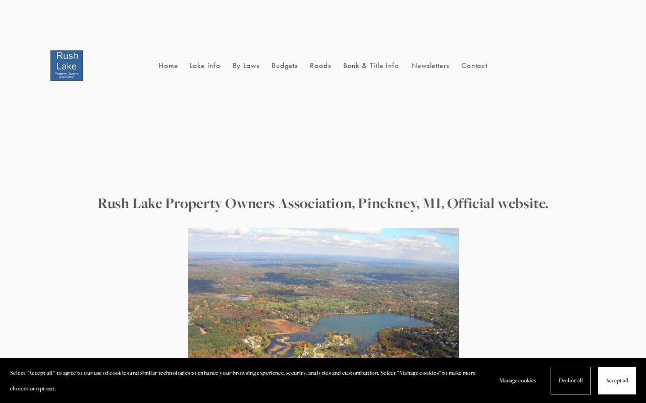
Association details can explain a lake-community context for neighboring parcels. They should never be used to infer or publish individual membership.
Map a Hamburg Township Neighbors Block
The physical-block process stays focused on parcels around one address. It does not turn into a street-wide person search. A simple research log can preserve the target PIN, adjacent PINs, source date, parcel address, deed citation if consulted, relevant association context, and any unresolved boundary note. That trail makes it possible to distinguish map geometry from a later document check.
- Locate the target address or PIN in the Livingston GIS viewer, then open the parcel pop-up.
- Turn on parcel and road layers and identify the polygons that touch or lie immediately around the target.
- Record each adjacent PIN and compare its property-summary information with the county property record, keeping owner, mailing, and situs labels distinct.
- Where a recorded land relationship matters, search the PIN or legal description in the deed index and cite the instrument date and type.
- Use community or archive sources only as dated context. For a full named-street workflow, use the Hamburg Township street address directory.
Owner names on a property record and parties named in a deed are not occupancy findings. A mailing address may be off-site, a legal description may cover a larger tract or easement, and the viewer map does not settle a recorded boundary.
Hamburg Township Neighbors in Civic Records
The Hamburg public-meeting portal has website search, From and To date controls, and a Meeting Group filter. Agendas and minutes can mention appointments, public comments, boards, parcel topics, or civic infrastructure. A meeting result is a dated civic record, not a complete account of who lives on a block.
The following image is from the Hamburg public-meeting search, which can narrow public civic material by date and meeting group.
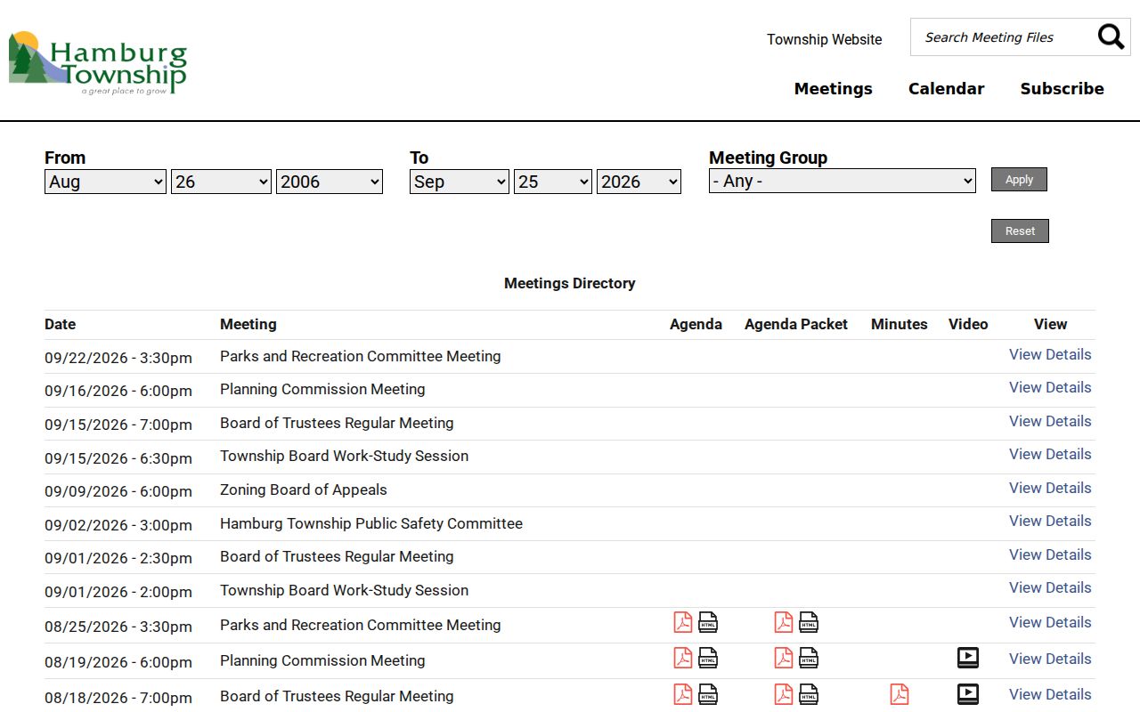
Use a street, lake, family, or township term with a date range, then read the record in context. The same portal can help date a public project near neighboring parcels without creating a people roster.
Historic map context can also help. The 1895 atlas and later plat material show landowners and roads before modern numbering, but a historic neighbor may be outside the current township line because Hamburg was organized in 1835 and Genoa separated in 1837.
Hamburg Township Neighbors Official Records Compared
Official sources identify their record relationship and custodian. Unspecified commercial lookup categories may combine data from different dates and do not explain whether a name is a current owner, a mailing contact, or an occupant. For a block question, the county map and property record are more useful because they expose the underlying parcel relationship and can be checked again later.
| Official source | Commercial lookup category |
|---|---|
| GIS shows a mapped parcel, its PIN, property address, acreage, and source context. | May present a name without the map, date, or record relationship. |
| Property and deed records distinguish a mailing, parcel, or recorded-party relationship. | May blend old and current associations without explaining the difference. |
| Meeting and association pages disclose a public civic or organization context. | May imply a personal connection that the source does not establish. |
Hamburg Township Neighbors Privacy Limits
Michigan’s Qualified Voter File is not a free-form neighbor lookup. Public-file requests follow state procedures, but driver-license and state-ID information, birth month and day, phone, email, signatures, and other sensitive fields are withheld. A missing voter result does not mean a parcel lacks a household. An address record is also subject to Michigan’s Address Confidentiality Program for eligible protected participants.
Michigan’s Address Confidentiality Program uses a substitute address and mail forwarding for eligible people at risk of harm. Enrollment begins with an advocate or application assistant. It is a legal protection, not a record-search obstacle to work around. Keep protected-case, juvenile, private contact, and unnecessary identifying information out of block notes.
Lawful use. Hamburg Township neighbors research can support civic curiosity, a property question, or local history. Do not use parcel, association, or civic information to watch, harass, intimidate, or harm anyone.
Record Hamburg Township Neighbors Carefully
A defensible block note states the target address and PIN, map date, adjacent parcel IDs, county property-source date, and any deed or archive citation. It also identifies whether the observation is an adjacent polygon, owner record, tax mailing record, recorded party, historic landowner, or civic mention. That structure avoids presenting a map scan as a current residency answer.
When the evidence does not align, keep the discrepancy visible. It may reflect address normalization, a recently changed parcel, different source-refresh dates, a broader legal description, or a changed township boundary. Verify current records with the relevant county office and preserve historic information as a dated clue.
For older Hamburg blocks, a nearby name on the 1895 atlas, a township abstract, or an obituary can be worth recording as historical context. It should stay separate from current parcel data. The Howell digital archive can be searched by keyword, Boolean, or exact match and filtered by record type, collection, exhibit, or page. Its browse collections include tax assessment rolls, township abstracts, maps, and people photographs, while other material remains offline. Search an old road name, family name, lake, and township term separately, then compare the date and geography with the parcel record.
Building permits can also date a construction or alteration event, but the applicant or contractor is not automatically the owner or resident. Hamburg’s BS&A landing page links property, tax, utility, and permit searches, although the detailed form fields were not fully verified in research. Label any permit finding by its document role and date.
Note: Public association boards and public civic records can describe a community layer, but they do not authorize publication of private membership or contact lists.