
Hamburg Township ZIP Code Areas
Six postal codes are useful working associations for Hamburg Township. They describe delivery geography, not fixed township slices. The table keeps the research cautious: each row identifies an area that may use a mailing label, while the final answer for a particular driveway, apartment, or post-office box comes from USPS. No official complete township-to-ZIP boundary table was located in the research. Treat every row as a starting point for address verification, not a claim about a municipal boundary.
| ZIP | Areas Covered | Post Office | Notes |
|---|---|---|---|
| 48116 | Northeast and north-side Hamburg-area addresses | Brighton | Association only; it is not the Brighton city boundary. |
| 48139 | Hamburg postal or box association | Hamburg | Do not assume every township street address uses this label. |
| 48143 | Lake-side and southeast postal association | Lakeland | May reflect a post-office-box or delivery identity. |
| 48169 | Western and southwestern Hamburg-area addresses | Pinckney | Confirm the full street address before using it for a parcel search. |
| 48189 | Southeast and east-side delivery geography | Whitmore Lake | Postal geography can cross local boundaries. |
| 48843 | Northwest and county-seat-facing addresses | Howell | Use USPS and the exact street address to confirm the result. |
Brighton, Hamburg, Lakeland, Pinckney, Whitmore Lake, and Howell are mailing labels encountered in Hamburg research. None should replace the situs location shown by the county. Lake communities such as Rush Lake, Portage Lake, Cordley Lake, White Lodge, and the Huron River chain add another familiar local layer, yet they also do not establish a ZIP line.
Note: A postal label is useful for delivery and sorting, but it does not establish township jurisdiction, ownership, voting geography, or a current resident.
Hamburg Township ZIP Code USPS Checks
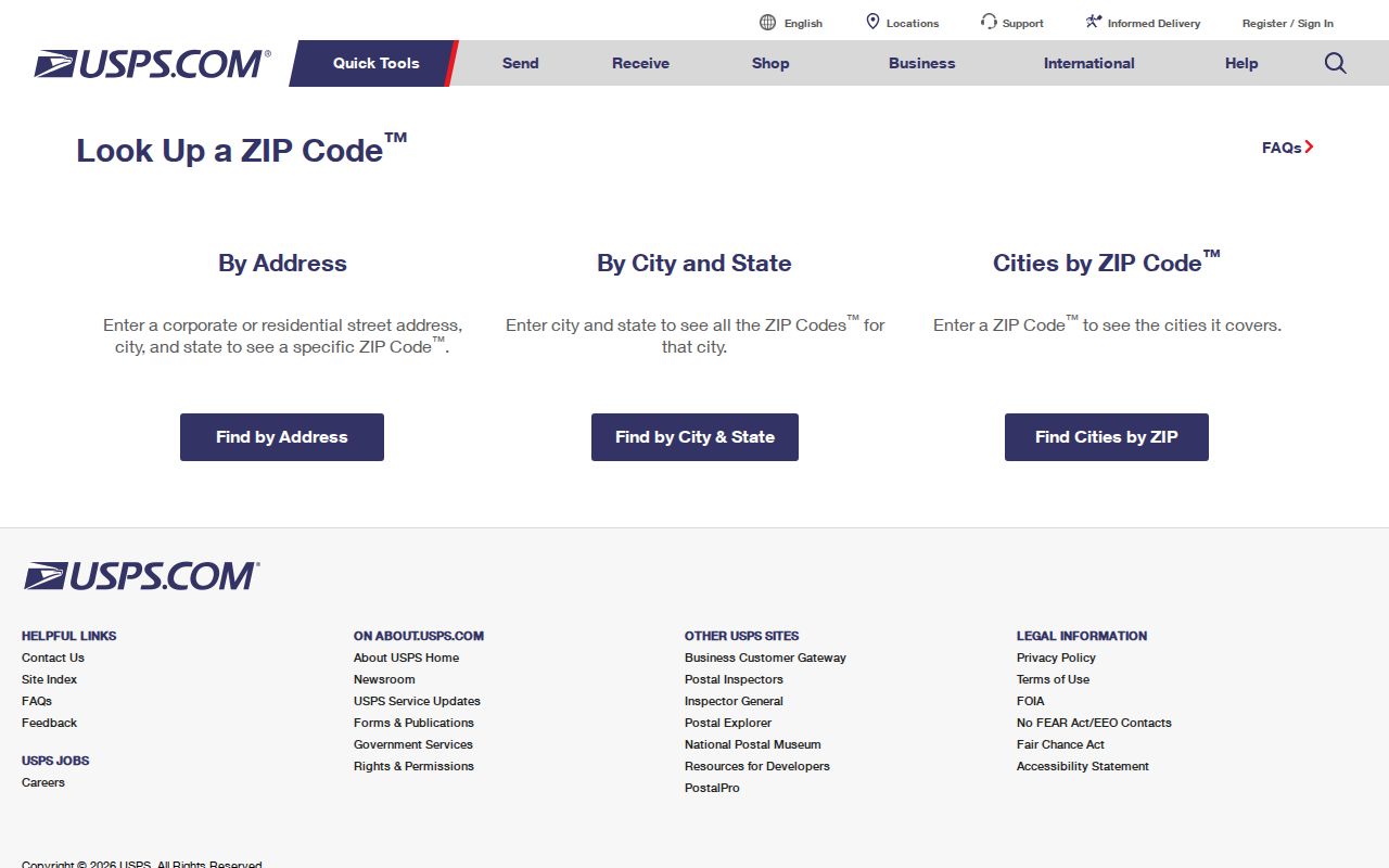
Use the official USPS ZIP Code Lookup before relying on a mailing city. Its By Address mode accepts a required street address, city, and state, with optional company, apartment or suite, and ZIP fields. Units matter when USPS returns more than one result. The service also offers By City and State and Cities by ZIP modes, so it can test either an address or a postal label.
The following image is from the USPS ZIP Code Lookup, showing the official lookup choices rather than a person record.
USPS recommends its returned city name even when local speech uses Hamburg Township. A positive result confirms postal addressing only. It does not confirm that a named person or company is at the address, and it cannot turn a ZIP code directory into a roster.
| USPS mode | Required input | Best use |
|---|---|---|
| By Address | Street address, city, state | Standardize one delivery address and narrow any unit. |
| By City and State | City, state | Check postal associations for a mailing locality. |
| Cities by ZIP | Five-digit ZIP | See city names USPS associates with a postal code. |
Use a ZIP Code in Hamburg Township Research
A ZIP code narrows a search area, but the county’s current-property form has no visible ZIP field. That distinction keeps a search accurate. Begin with the delivery result, then let the address and township filters identify a parcel. Only after the parcel is found should a researcher compare recorded ownership, historic material, or other lawful sources. This sequence avoids treating a broad delivery area as a set of addresses.
- Enter the complete address in USPS By Address and retain the returned city and ZIP, including the unit when one is present.
- Open Livingston County Property Search and search by street number and street name, selecting Hamburg Township when the record supports it.
- When the result is too broad, retry with a smaller house-number range, an owner surname, or a parcel number. The county limits number ranges to 1,000 and results to 50.
- Plot the returned parcel in the county GIS viewer to compare the street geometry with the postal result and note any boundary mismatch.
- Use a deed, historical directory, or archive only after recording the address, parcel identifier, source date, and what relationship the record actually shows.
For a complete street-by-street records chain after a ZIP has narrowed the area, use the Hamburg Township street address directory. ZIP remains the prefilter; street, parcel, and legal description are the stronger local record keys.
Hamburg Township ZIP Code Parcel Filters
Livingston County Property Search combines Treasurer and Equalization data. Its visible fields include owner name, parcel number, property address number or range, street name, and a city, township, or village selector. It can search real, personal, or other property, and active or retired parcels. It does not expose ZIP as a search field, which is why a ZIP should never be reported as if it came directly from the property record.
The Livingston GIS Parcel Viewer provides the spatial check. It accepts address components, an owner name, a subdivision or condominium name, and a parcel ID without county code 47. Search suggestions stop at 15. A selected parcel can show PIN, property address, acreage, and a property-summary link, while layers add roads and parcel polygons.
GIS can print a dated PDF, JPG, or PNG and offers measure and drawing tools. Those tools help compare returned parcels with nearby roads or a lake community. They do not prove title, a legal boundary, or who occupies a property. The county also says local governments update owner name and address information, so current questions should be confirmed with the appropriate local office.
Hamburg Township ZIP Code Boundary Mismatches
Hamburg Township is a civil township, while a ZIP is a USPS delivery construct. Postal city, township, parcel, census place, school district, precinct, and tax geography may all use different lines. An address can therefore be in Hamburg Township while USPS returns Brighton, Howell, Lakeland, Pinckney, or Whitmore Lake as the recommended mailing city. Show both labels in notes instead of forcing one to replace the other.
- ZIP
- A delivery-routing code used by USPS. It is not a town boundary or a proof of residence.
- ZIP+4
- An added four digits that can narrow delivery routing within a five-digit ZIP, often to a segment, building, or unit range.
- PO Box ZIP
- A code associated with post-office boxes or a postal locality. It does not identify the parcel where the box holder lives.
- Carrier route
- A USPS delivery sequence used for mail distribution. It is not a parcel, precinct, or ownership boundary.
Hamburg Township ZIP Code and Voter Limits
Michigan’s Qualified Voter File is not a ZIP code directory or a free-form neighborhood list. The Michigan Department of State provides lawful public-record request routes, while fields such as driver-license or state-ID information, birth month and day, phone, email, signatures, and certain registration details remain withheld. A residential address can be part of the official system, but a postal code does not prove that every delivery address contains a registered voter.
For a permitted request, use the state’s voter-file FOIA request form and describe the needed geography, history, and delivery method. Electronic delivery is documented as CSV on encrypted flash drive or by FTP where available, not ordinary email. Michigan FOIA, MCL 15.231 et seq., does not bypass the redactions that protect sensitive fields.
Postal verification still has value here. It helps distinguish the mailing city from the township before a lawful county or state request is framed. It should not be used to infer a person, party affiliation, or household status from a delivery label.
Hamburg Township ZIP Code History Gaps
Modern ZIP codes do not translate backward into nineteenth-century address research. Older deeds, census material, township maps, and directories may use road names, rural routes, section lines, lots, legal descriptions, or a neighboring locality instead. For an older house, preserve the current ZIP only as a sorting note and build the historical trail from the parcel’s legal description. No Hamburg historical postal-route or ZIP-transition source was verified in the research.
The Howell Digital Archives collections browser is useful for historical context because its browse paths include tax assessment rolls, township abstracts, maps, and photographs. It does not supply a complete ZIP table or a verified local reverse directory.
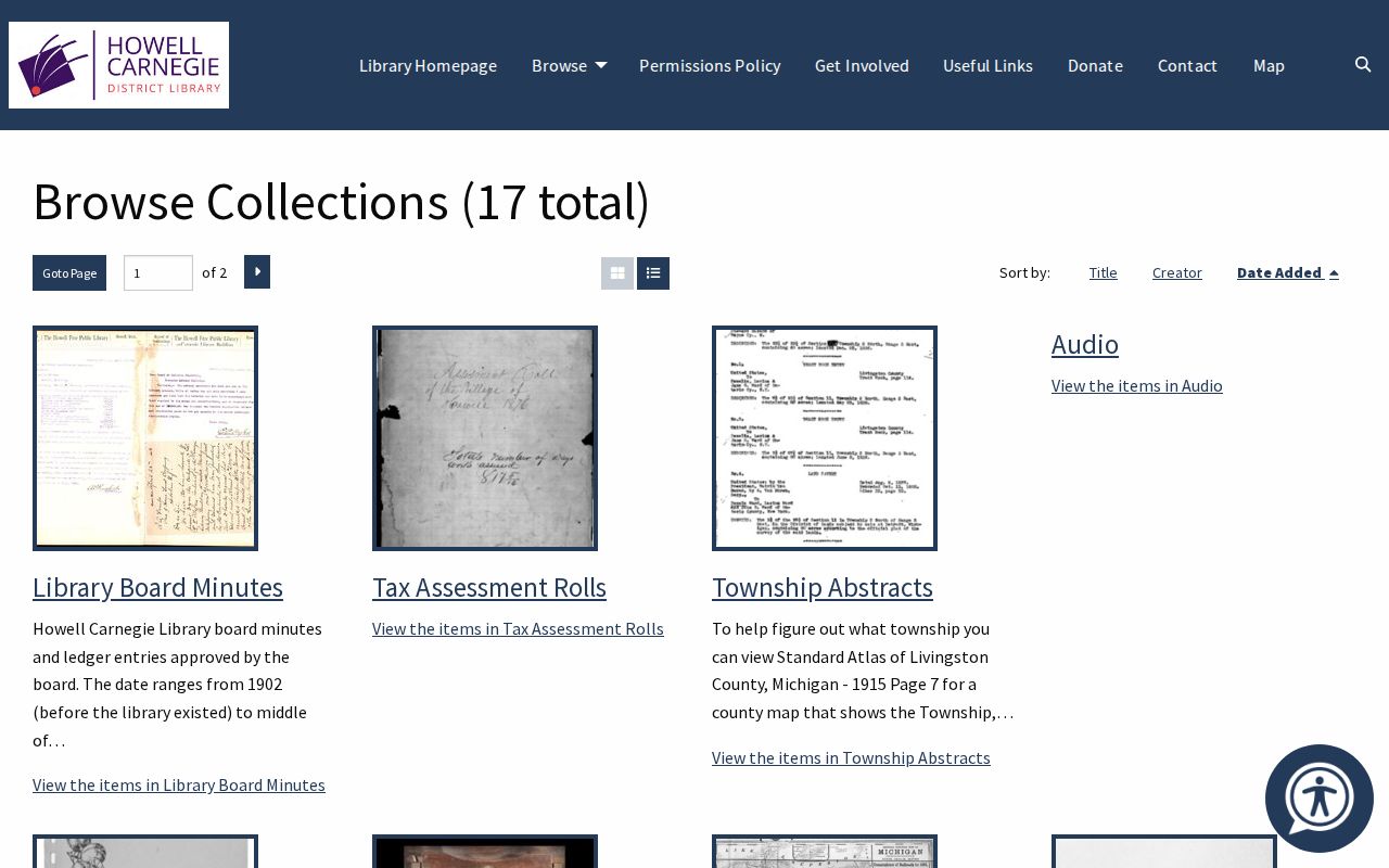
Its historical records can help identify an earlier road or township clue that predates a postal label. Match any archive clue to a current parcel and USPS result before treating it as the same address.
Note: The absence of a complete official township-to-ZIP table is a documented research gap, so address-specific USPS verification remains the final postal check.
Hamburg Township ZIP Code Record Notes
A sound ZIP code directory note separates postal fact from property fact. Record the original address, USPS-standardized address, returned city and ZIP, county parcel number, township label, and retrieval date. If the location belongs to a lake association or uses a box address, identify that as community or mailing context rather than a residence finding.
For a recorded land trail, the Livingston County Register of Deeds says its online index and images generally reach documents recorded since November 7, 1980 or Liber 1000, with older indexing and image gaps. That record system uses parties and legal descriptions, not ZIPs. The difference is helpful: USPS verifies delivery, county property data identifies a parcel, and recorded documents describe an instrument.
Verify any order, copy, or current data directly with the named office. Postal results, parcel displays, and historical files can change or use different update dates.